
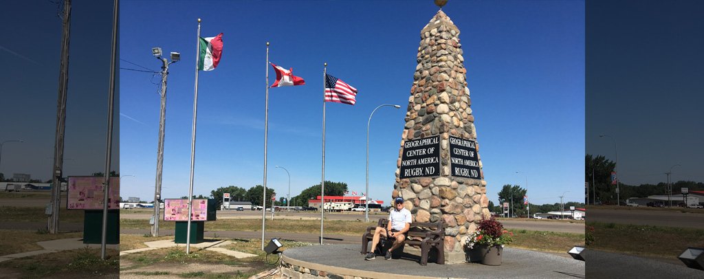
About Geographic Center of North America
Rugby has spent decades standing at the center of North America, at least according to a stone monument beside U.S. Highway 2.
The 21-foot cairn marks a geographic-center calculation associated with a 1931 U.S. Geological Survey publication. Rugby embraced the designation and built a monument that transformed an abstract cartographic point into a physical roadside destination.
The wonderfully strange part is that a continent does not have one universally agreed mathematical center. Coastlines are irregular, islands complicate the boundary, and different methods of defining or balancing a landmass can produce different answers. The North Dakota Geological Survey has noted that the U.S. Geological Survey does not officially recognize one exact geographic center because there is no generally accepted definition or completely satisfactory method for determining it.
The monument itself has also moved. Highway widening in 1971 required relocating the marker from its earlier roadside position. None of that makes the monument less interesting. It makes it better. Visitors are not simply seeing the center of North America. They are seeing a monument to the surprisingly slippery problem of deciding where the center of North America should be.